Campground Map & Loops
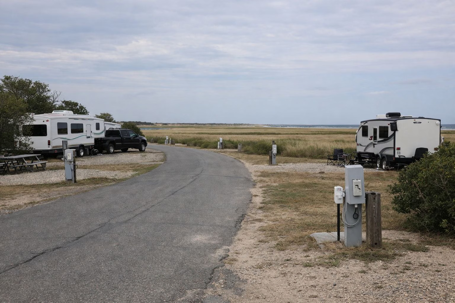
The Salisbury Beach State Reservation campground is laid out in lettered loops, A through H and W through Z, between the ocean beach and the Merrimack River. DCR's booking system, ReserveAmerica, groups the 484 sites into eight blocks of loops and shows every site on an interactive map, with the river, Black Rock Creek and Route 1A marked. The two group sites and the day-use pavilion are booked from the same map.
The Layout at a Glance
The Official Map
DCR does not publish a separate PDF map for Salisbury Beach. The best map is the interactive one on the campground's ReserveAmerica page: pick your dates and it colours each site by whether it is available online. Click a site to see its type, driveway, the longest equipment it fits and its hookups.
How the Loops Are Grouped
ReserveAmerica sorts the campground into these booking blocks:
- Sites A1–18, B1–18, C1–21
- Sites A19–A50, B20–B50, C22–C49
- Sites D1–D27, E1–E25, F1–F22
- Sites D32–D50, E32–E50, F29–F48
- Sites G0–G30, H1–H26, W1–W24
- Sites G31–G50, H29–H51, W25–W47
- Sites X1–X27, Y1–Y21, Z0–Z13
- Sites X28–X43, Y20–Y37, Z15–Z25
Not every number in a range exists, and some sites can't be booked online, so the map shows fewer than 484 at any time.
Landmarks on the Map
- The Merrimack River runs along the campground's south side. ReserveAmerica places the two boat ramps on the river at the campground's southern edge.
- Black Rock Creek is marked on the map's inland side.
- Route 1A is the road into Salisbury and the reservation.
- The pavilion and the two group sites are separate entries on the map. See the pavilion.
- The nature trail runs from near the dump station, parallel to Z Street, and ends near the boat ramp. See the nature trail.
Picking a Site
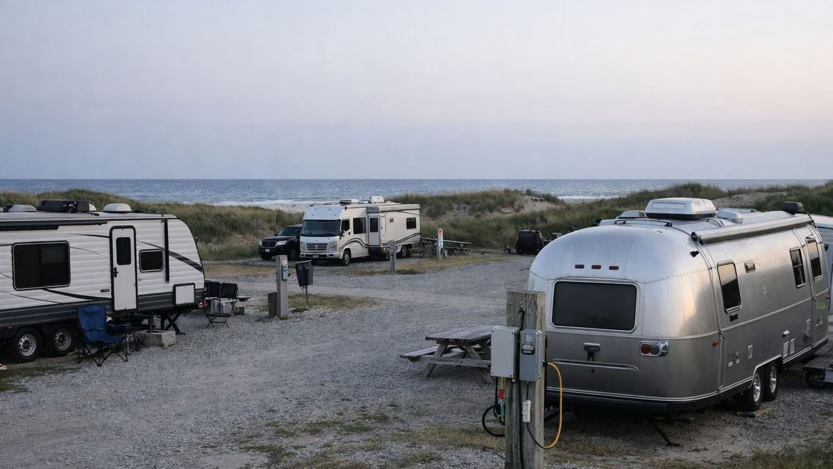
- Bringing an RV or trailer? Filter for "RV/Trailer Electric" or "Standard Electric" and check the equipment length on each listing.
- Tent camping? Filter for "Tent Only" or "Popup/Tent".
- Coming with a big group? Group 1 takes 12 people and Group 2 takes 25.
Fees and booking rules are on the camping page.
Campground Map & Loops FAQ
Is there a map of Salisbury Beach campground?
Yes. The campground's ReserveAmerica page has an interactive map of every site, coloured by online availability. DCR does not publish a separate PDF map.
How are the loops at Salisbury Beach campground numbered?
By letter: A to H and W to Z. ReserveAmerica groups them into eight blocks, such as Sites A1–18, B1–18 and C1–21.
Where are the boat ramps at Salisbury Beach campground?
On the Merrimack River at the campground's southern edge, according to DCR's booking page.